
Locations
Locations in Costa Rica
The seven areas we actually advise on: what to verify on airport access, roads, water, utilities and conservation – with dates and sources, not marketing phrases.
No location is best for everyone. For each area below we list what can be documented: distance from the airport and road condition, the water source, the conservation regime and what we still have to verify. We deliberately leave out figures we cannot substantiate.
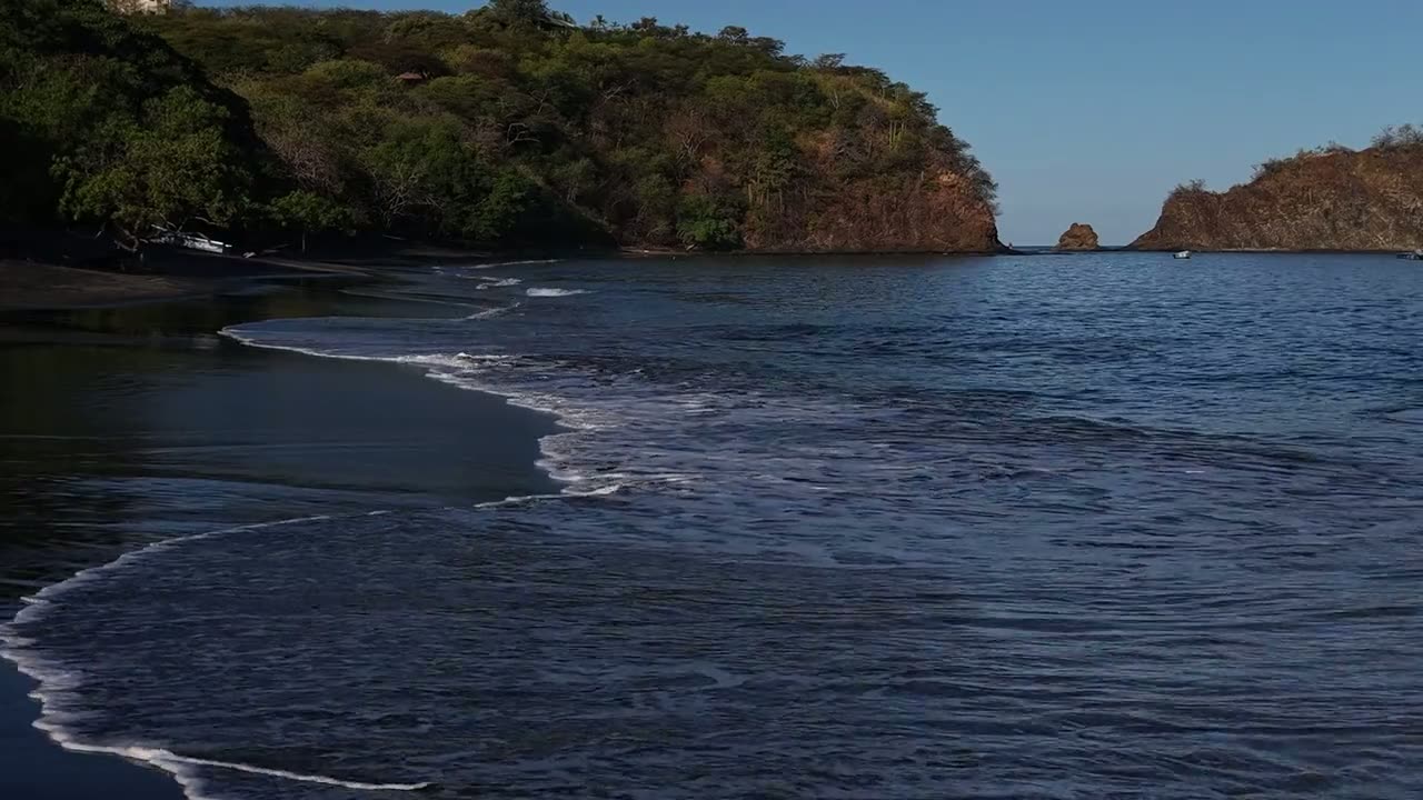
Province on the northern Pacific coast
Guanacaste
Why investors look at Guanacaste: LIR international airport, two seasons, AyA and ASADA aqueducts, protected ACG lands. What is proven and what we verify.
LIR · 25 minutes to 2 hours
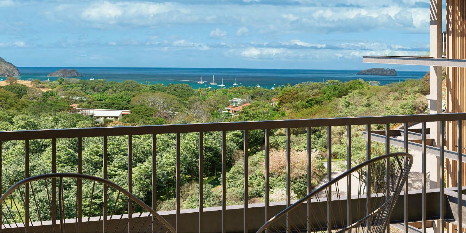
Carrillo canton, Guanacaste
Playas del Coco
Playas del Coco: 22 to 27 km and 25 to 40 minutes from LIR airport, the Sardinal–El Coco–Ocotal aqueduct, three project collections. What is proven and what we verify.
LIR · 25 to 40 minutes
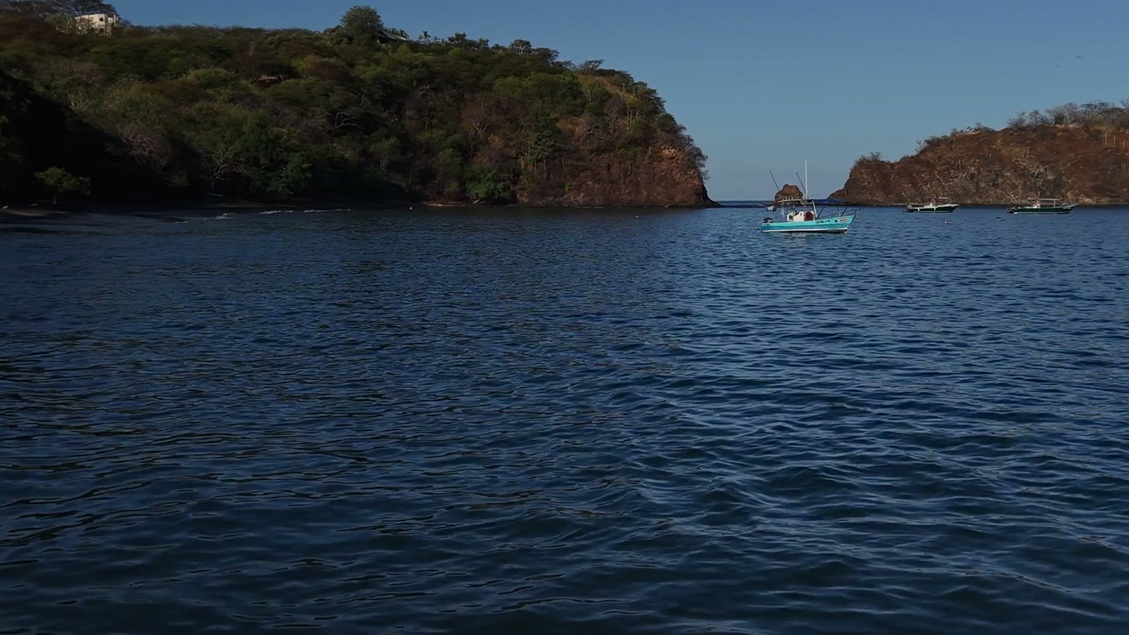
Bay in Guanacaste
Papagayo
Papagayo: about 30 km and half an hour from LIR airport, but also a 43,000-hectare marine protected area. What is proven and what we verify.
LIR · 30 to 60 minutes
Santa Cruz canton, Guanacaste
Tamarindo
Tamarindo: roughly 65 km and an hour from LIR airport, a bay with the Las Baulas marine national park. What is proven and what we verify.
LIR · 1 to 1.75 hours
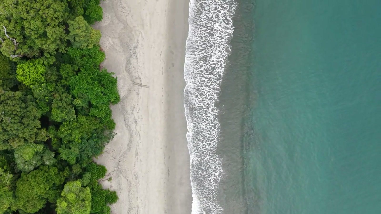
Nicoya Peninsula, Guanacaste
Sámara
Sámara: about 105 km and two hours from LIR airport, always on paved road. The Sámara–Malanoché aquifer, ASADA and what we still verify.
LIR · about 2 hours
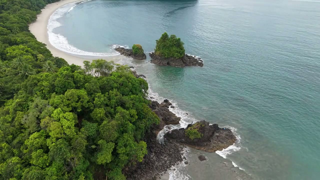
Nicoya canton, Guanacaste
Nosara
Nosara: 2 to 2.5 hours from LIR airport with an unpaved final stretch and a documented limit on aqueduct capacity. What is proven and what we verify.
LIR · 2 to 2.5 hours
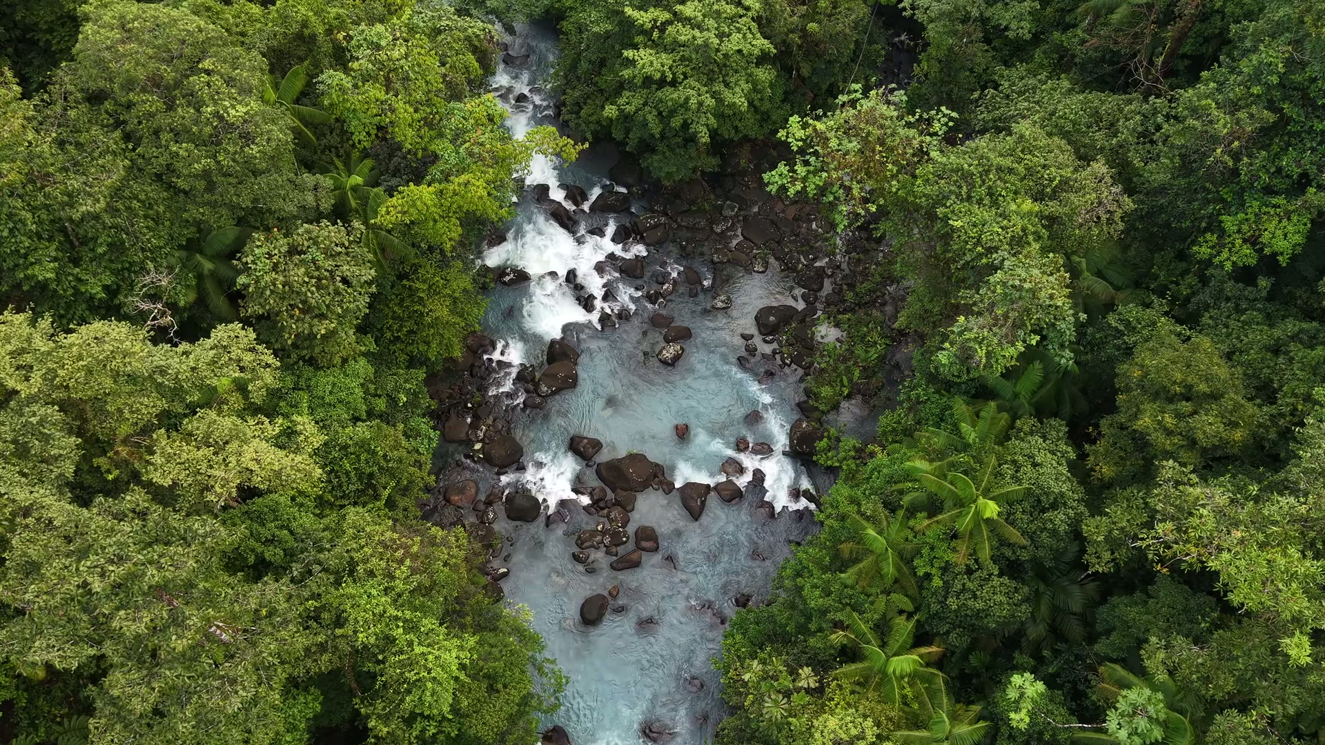
San José, Alajuela, Heredia, Cartago
Central Valley
Central Valley: SJO airport, institutions, schools and hospitals, a permanent housing stock. Why investors here do not depend on the season.
SJO · up to 1 hour within the region
Comparing locations
The table ranks locations by the criteria that affect your budget and risk. Click a column heading to sort it differently.
| Central ValleySan José, Alajuela, Heredia, Cartago | SJOup to 1 hour within the region | Paved, usable year-round | Public AyA aqueduct (confirm capacity for the unit) | Urban and land-use regulation | Regime not yet verified | – |
|---|---|---|---|---|---|---|
| GuanacasteProvince on the northern Pacific coast | LIR25 minutes to 2 hours | Paved, usable year-round | Public AyA aqueduct (confirm capacity for the unit) | Strict regime (protected areas) | Mixed – verify municipal rules | $238,900 |
| Playas del CocoCarrillo canton, Guanacaste | LIR25 to 40 minutes | Paved, usable year-round | Public AyA aqueduct (confirm capacity for the unit) | Moderate (verify parcel overlap) | Mixed – verify municipal rules | $238,900 |
| PapagayoBay in Guanacaste | LIR30 to 60 minutes | Paved, usable year-round | Not yet documented | Strict regime (protected areas) | Within the project or resort | – |
| TamarindoSanta Cruz canton, Guanacaste | LIR1 to 1.75 hours | Paved, usable year-round | ASADA community aqueduct (confirm capacity and source) | Strict regime (protected areas) | Mixed – verify municipal rules | – |
| SámaraNicoya Peninsula, Guanacaste | LIRabout 2 hours | Paved, usable year-round | ASADA community aqueduct (confirm capacity and source) | Regime not yet verified | Mixed – verify municipal rules | – |
| NosaraNicoya canton, Guanacaste | LIR2 to 2.5 hours | Partly unpaved | ASADA – documented capacity limit | Moderate (verify parcel overlap) | Mixed – verify municipal rules | $303,450 |
Drive times are indicative ranges from documented sources and change with traffic and weather. We do not show liquidity, occupancy or yield because we have no verified data for them.