
Santa Cruz canton, Guanacaste
Tamarindo
Tamarindo: roughly 65 km and an hour from LIR airport, a bay with the Las Baulas marine national park. What is proven and what we verify.
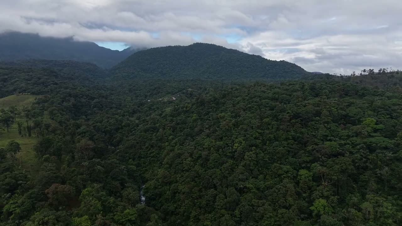
Character of the area
Tamarindo is a larger town with its own infrastructure, but it is considerably further from the airport than Coco: source tables give 65 to 77 km and one to one and three-quarter hours on a paved road, longer at peak. When planning visits and handovers, budget for that margin rather than a map app's best case.
The bay has been protected since 1991 as Las Baulas Marine National Park, covering 175 km² of which only 7.7 km² is land. The park protects leatherback nesting beaches at Grande, Ventanas and Langosta and the estuary with its mangroves, and its regime affects what may be operated where and at what hours.
Key data
| Distance from the airport | 65 to 77 km, 1 to 1.75 hoursLiberia Costa Rica – Guanacaste Drive Times (dojezdy a stav cest) · Checked 18 October 2026 |
|---|---|
| Access road | paved, reliable year-roundLiberia Costa Rica – Guanacaste Drive Times (dojezdy a stav cest) · Checked 18 October 2026 |
| Protected area | Las Baulas Marine National Park, 175 km² (7.7 km² land)SINAC – Parque Nacional Marino Las Baulas · Checked 18 October 2026 |
| Rainfall | 1,811.2 mm, 95% of it May to NovemberSINAC – Parque Nacional Marino Las Baulas · Checked 18 October 2026 |
| Park operation | 6:00 to 18:00, until 17:00 in nesting seasonSINAC – Parque Nacional Marino Las Baulas · Checked 18 October 2026 |
| Water | Huacas Tamarindo aquifer recorded in SINIGIRHMINAE – Dirección de Aguas, SINIGIRH (mapy acuíferů a vodních zdrojů) · Checked 18 October 2026 |
Listings in this location
We do not yet have a unit here with a verified price and availability. For Tamarindo we can run a due diligence on a specific listing on request: cadastre, overlap with the park and estuary, water, access and the municipal rental regime.
Protected-area regime
The park reaches into the bay and the beaches and its boundaries are checked in the cadastre and SINAC databases. For lots by the estuary and mangroves it also applies that intervention in these ecosystems requires special permits in Costa Rica, so a seller's statement about building possibilities is not enough.
Rentals and operations
Tamarindo has a long tourism history, but without our own data we do not present occupancy or yield from holiday apartments. Instead we check the municipal activity permit, the approved use of the building and whether the specific project allows short-term rental at all.
Location on the map
Open larger mapThe map loads only after you click, so no third-party data is transferred unnecessarily.
Risks and what to verify before reserving
- Park and estuary boundaries verified in the cadastre and SINAC databases
- Approved building use and municipal activity permit
- Written water feasibility from the Huacas Tamarindo aquifer
- Operating limits during sea-turtle nesting season
- Real drive time from the airport at peak and in rain
Listings in this location
We do not yet have a listing in this area whose price and availability we could confirm publicly. We will gladly verify the inventory for you.
Sources and check dates
- Ruta Pacífico – tabulka reálných dojezdových časů z letiště LIRmarket · Checked 18 October 2026
- Liberia Costa Rica – Guanacaste Drive Times (dojezdy a stav cest)market · Checked 18 October 2026
- SINAC – Parque Nacional Marino Las Baulasofficial · Checked 18 October 2026
- MINAE – Dirección de Aguas, SINIGIRH (mapy acuíferů a vodních zdrojů)official · Checked 18 October 2026
- Área de Conservación Guanacaste – Programa de Sectoresofficial · Checked 18 October 2026