
Province on the northern Pacific coast
Guanacaste
Why investors look at Guanacaste: LIR international airport, two seasons, AyA and ASADA aqueducts, protected ACG lands. What is proven and what we verify.
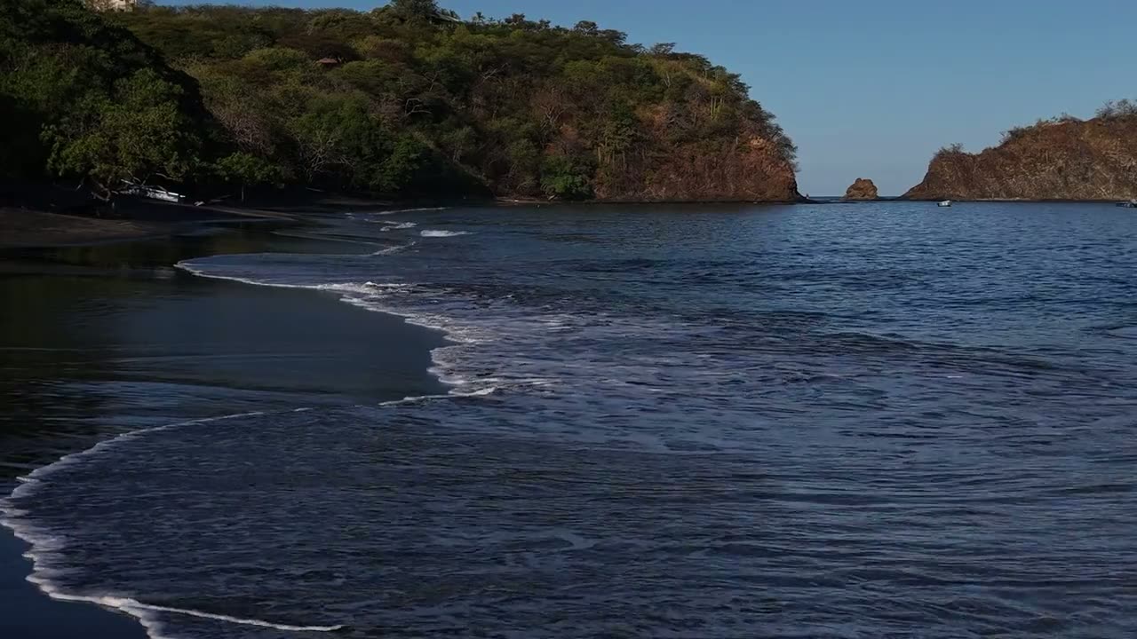
Character of the area
Guanacaste is Costa Rica's most accessible Pacific province. Daniel Oduber Quirós International Airport (LIR) sits about twelve kilometres west of central Liberia on Highway 21; the nearest beaches are a twenty to forty minute drive, while Nosara and Sámara are around two hours away.
The province runs on two seasons: a dry season from roughly mid-November to mid-May and a rainy season for the rest of the year. Most land outside the built-up areas falls under the Área de Conservación Guanacaste, whose continuous block covers about 163,000 hectares.
Key data
| International airport | about 12 km from central LiberiaGuanacaste Airport (LIR) – poloha a služby · Checked 18 October 2026 |
|---|---|
| Access to the coast | 25 minutes to 2 hours by destinationRuta Pacífico – tabulka reálných dojezdových časů z letiště LIR · Checked 18 October 2026 |
| Protected areas | ACG, continuous block of about 163,000 haÁrea de Conservación Guanacaste – Programa de Sectores · Checked 18 October 2026 |
| Dry season | mid-November to mid-MayÁrea de Conservación Guanacaste – Marine Sector · Checked 18 October 2026 |
| Water | AyA aqueducts and local ASADAs; aquifers in SINIGIRHMINAE – Dirección de Aguas, SINIGIRH (mapy acuíferů a vodních zdrojů) · Checked 18 October 2026 |
| Link to the Central Valley | Route 27 (Autopista del Sol), 76.8 km, tolledGlobalvía – Ruta 27 (Autopista del Sol), tarifa vigente · Checked 18 October 2026 |
Property types
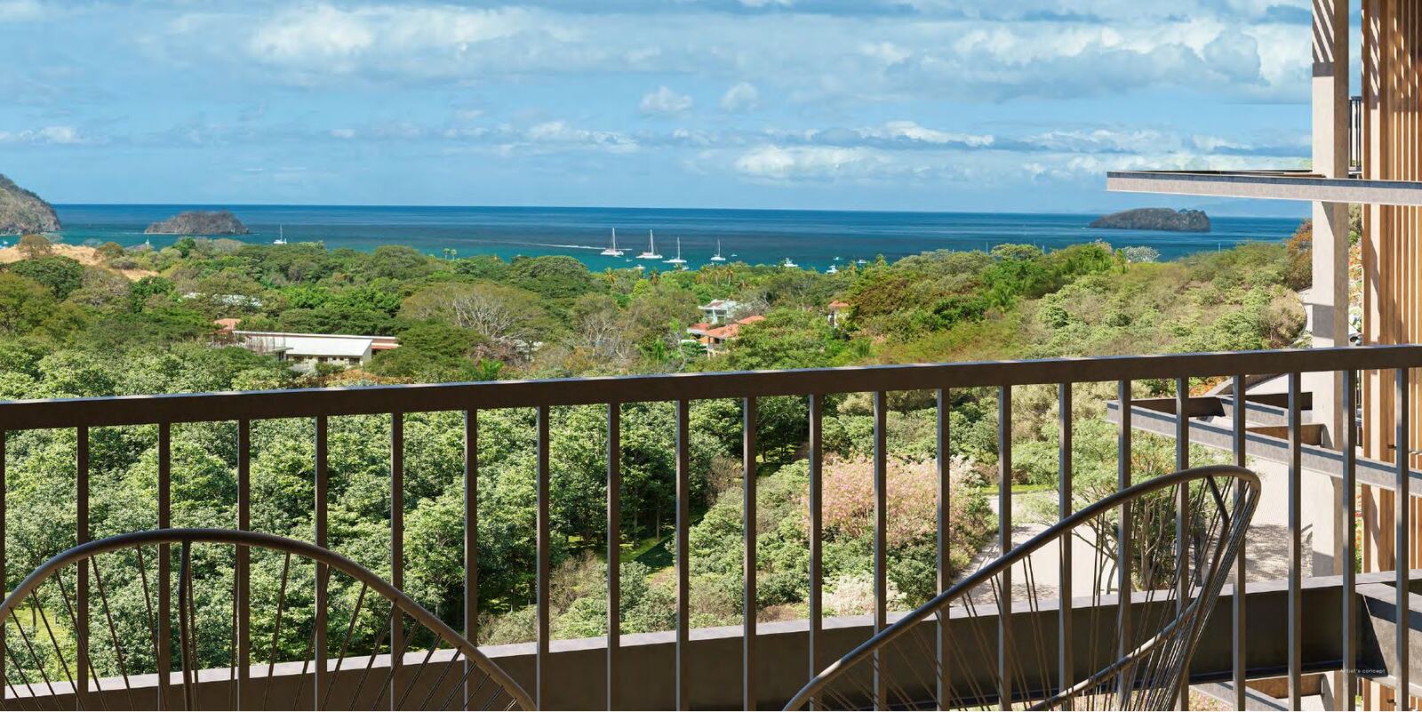
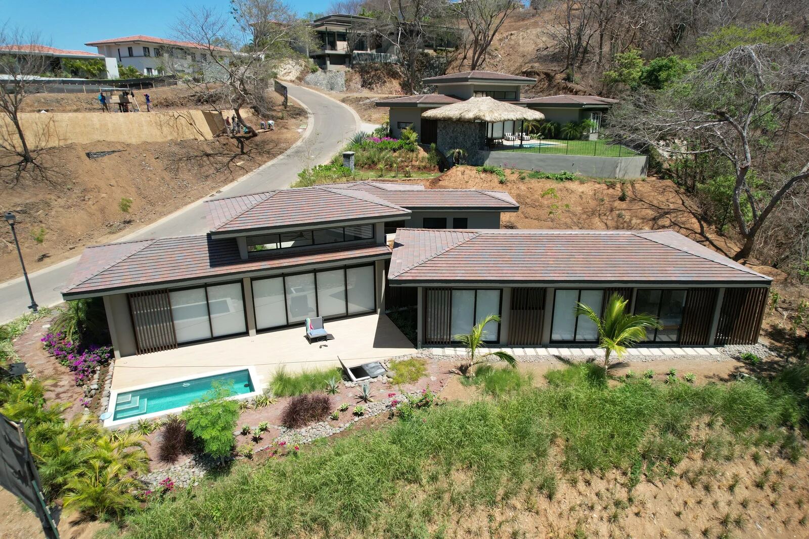
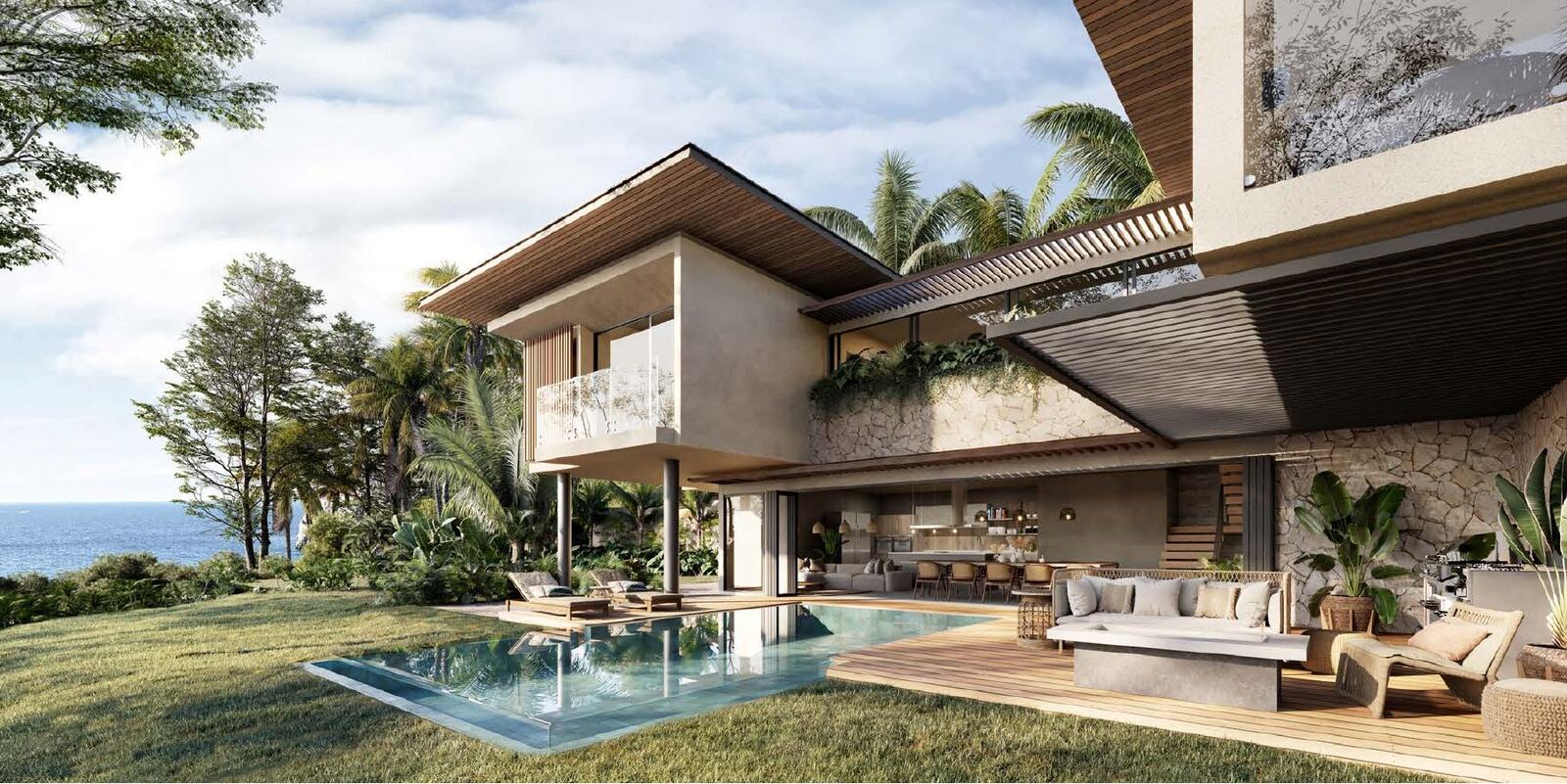
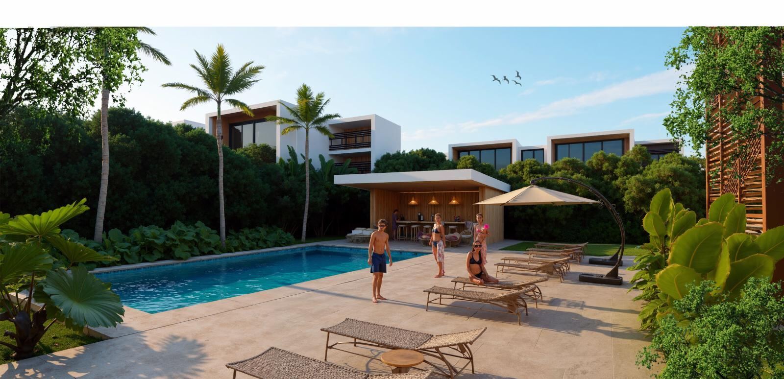
Our listings are ocean-view apartments in Playas del Coco, detached villas in a forest valley and building lots with panoramic views, all in Guanacaste. We quote prices only where we hold them from the developer with a source date.
- 1 to 2 bedroom + flex apartments from USD 238,900
- 3 to 4 bedroom villas with private pool, price on request
- Building lots of 930 to 1,860 m² from USD 400,000
Water and utilities
Water in the province arrives two ways: large aqueducts run by the AyA institute and rural networks managed by local ASADA associations. Which applies and what reserve capacity exists is confirmed in writing per unit; aquifer and source maps are public in the SINIGIRH system of the water authority Dirección de Aguas. Electricity comes from the national provider ICE, but a connection cannot be assumed.
Conservation and building limits
The SINAC conservation authority runs several sectors in Guanacaste, including a marine sector in the Gulf of Papagayo covering 43,000 hectares. Parcel overlap with protected land and with the coastal regime is checked in the cadastre and SINAC databases; the first 200 metres of coast carry their own public-zone and concession regime, covered in our title-versus-concession article.
Seasonality
Rain in the coastal parts of the province falls almost entirely in the first half of the year: in the Las Baulas park data, 95% of precipitation is concentrated in May to November. For running a property this means different demands on maintenance, gardens and guest handling across the two halves of the year.
Short-term rentals
Renting is not governed by a single uniform law in Costa Rica: municipal permits, approved building use and project rules differ unit by unit. The budgets we show are developer scenarios with a source date, not actual occupancy; we do not present occupancy or yield in our tables.
Location on the map
Open larger mapThe map loads only after you click, so no third-party data is transferred unnecessarily.
Risks and what to verify before reserving
- Registro Nacional extract and current folio real, not a copy of a contract
- Confirmed water: written feasibility from AyA or the ASADA for the specific unit
- Legal access: public road or registered easement
- Parcel overlap with protected land and with the maritime zone
- Price and availability with the date of the seller's latest confirmation
Budget example from real materials
- Purchase price, unit 1A Na Umi
- USD 238,900
- Price source
- developer investment analysis, August 2026
- Rental scenario from the developer
- USD 200 per night, 16 nights a month
- Operating input from the scenario
- HOA USD 750, utilities USD 300, management USD 150 a month, 20% commission
This is a developer scenario, not actual occupancy or a guaranteed return. You can build your own model in the investment calculator.
Listings in this location
Sources and check dates
- Guanacaste Airport (LIR) – poloha a službymarket · Checked 18 October 2026
- Ruta Pacífico – tabulka reálných dojezdových časů z letiště LIRmarket · Checked 18 October 2026
- Área de Conservación Guanacaste – Programa de Sectoresofficial · Checked 18 October 2026
- Área de Conservación Guanacaste – Marine Sectorofficial · Checked 18 October 2026
- MINAE – Dirección de Aguas, SINIGIRH (mapy acuíferů a vodních zdrojů)official · Checked 18 October 2026
- Globalvía – Ruta 27 (Autopista del Sol), tarifa vigenteofficial · Checked 18 October 2026
- SINAC – Parque Nacional Marino Las Baulasofficial · Checked 18 October 2026