
Bay in Guanacaste
Papagayo
Papagayo: about 30 km and half an hour from LIR airport, but also a 43,000-hectare marine protected area. What is proven and what we verify.
Character of the area
Papagayo is the closest of the premium coastal zones to the airport: source tables put it at 25 to 45 kilometres, realistically a 30 to 60 minute drive on paved road. The final stretch onto the peninsula is a private, gated road, which means access conditions that must be in writing.
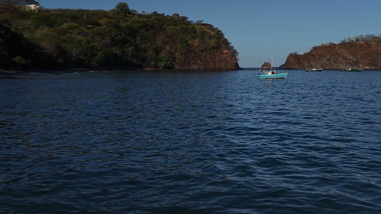
The bay and the surrounding hills are not open countryside: the marine sector of the Área de Conservación Guanacaste covers 43,000 hectares in the Gulf of Papagayo, and the Santa Elena peninsula belongs to its own sector of 15,288 hectares. It is dry forest in the rain shadow of the highlands, with its own plant and animal species, and that is exactly why the room for new construction is limited here.
Key data
| Distance from the airport | 25 to 45 km, 30 to 60 minutesLiberia Costa Rica – Guanacaste Drive Times (dojezdy a stav cest) · Checked 18 October 2026 |
|---|---|
| Access road | paved, ending on a private gated roadLiberia Costa Rica – Guanacaste Drive Times (dojezdy a stav cest) · Checked 18 October 2026 |
| Marine protected area | ACG marine sector in the bay, 43,000 haÁrea de Conservación Guanacaste – Marine Sector · Checked 18 October 2026 |
| Santa Elena peninsula | own ACG sector, 15,288 haÁrea de Conservación Guanacaste – Sector Santa Elena · Checked 18 October 2026 |
| Climate | dry season from mid-November to mid-MayÁrea de Conservación Guanacaste – Marine Sector · Checked 18 October 2026 |
| Water | aquifers recorded in SINIGIRH: Playa Hermosa, Playa Panamá, SardinalMINAE – Dirección de Aguas, SINIGIRH (mapy acuíferů a vodních zdrojů) · Checked 18 October 2026 |
Listings in this zone
We do not yet have a unit here whose price and availability we could confirm publicly. If Papagayo interests you, we will verify the inventory and terms directly with the operator and send you the result with a date and source.
What limits construction
Besides the municipal land-use plan, what decides here is the existence of the ACG marine sector and the coastal regime of the first 200 metres. Parcel overlap with protected land is checked in the cadastre and SINAC databases and attached to the due diligence file; without it we do not recommend any reservation.
Water, utilities and access
Aquifers in this zone are recorded in SINIGIRH, but capacity for a specific property is confirmed in writing by AyA, the ASADA or the resort operator. We also request written terms for using the private access road, including fees and permissions for guests and deliveries.
Location on the map
Open larger mapThe map loads only after you click, so no third-party data is transferred unnecessarily.
Risks and what to verify before reserving
- Written rights to the private access road and their scope
- Parcel overlap with the ACG marine sector or the coastal zone
- Written confirmation of water and power for the unit
- Resort management fees and exactly what they cover
- Title versus concession where the lot borders the water
Listings in this location
We do not yet have a listing in this area whose price and availability we could confirm publicly. We will gladly verify the inventory for you.
Sources and check dates
- Liberia Costa Rica – Guanacaste Drive Times (dojezdy a stav cest)market · Checked 18 October 2026
- Área de Conservación Guanacaste – Marine Sectorofficial · Checked 18 October 2026
- Área de Conservación Guanacaste – Sector Santa Elenaofficial · Checked 18 October 2026
- MINAE – Dirección de Aguas, SINIGIRH (mapy acuíferů a vodních zdrojů)official · Checked 18 October 2026
- Globalvía – Ruta 27 (Autopista del Sol), tarifa vigenteofficial · Checked 18 October 2026